Photographs ( 99 total. )
Initial flooding:
Set No. 1 (11)
Set No. 2 (9)
State Highway 39 Hiway 39 Joe Davison floods flooding BBQ cookoff barbecue cookoff
January 17, 2005 (14)
January 21, 2005 (10)
Motorcoaches motorcoach recreation tourism recreation vehicles campsites gold panning.
January 23, 2005 (6)
January 30, 2005 (6)
motorhomes trailers travel tenting vacations america usa travelers traveling.
Highway 39 above Coldbrook — Undated (6)
Follows Camp East Fork East Fork River Angeles National Forest San Gabriel River
Highway 39 above Coldbrook January 30th (4)
Follows Camp East Fork East Fork River Angeles National Forest San Gabriel River
February 5, 2005 (2)
Feb. 11-12, 2005 (6)
go camping america reenactment El Dorado Camp Williams Curve Fire Williams Fire.
February 19, 2005 (5)
March 5, 2005 (6)
|

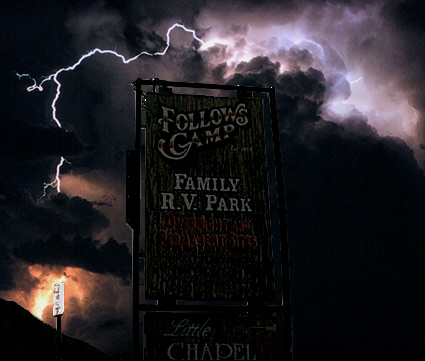
 Follows Camp